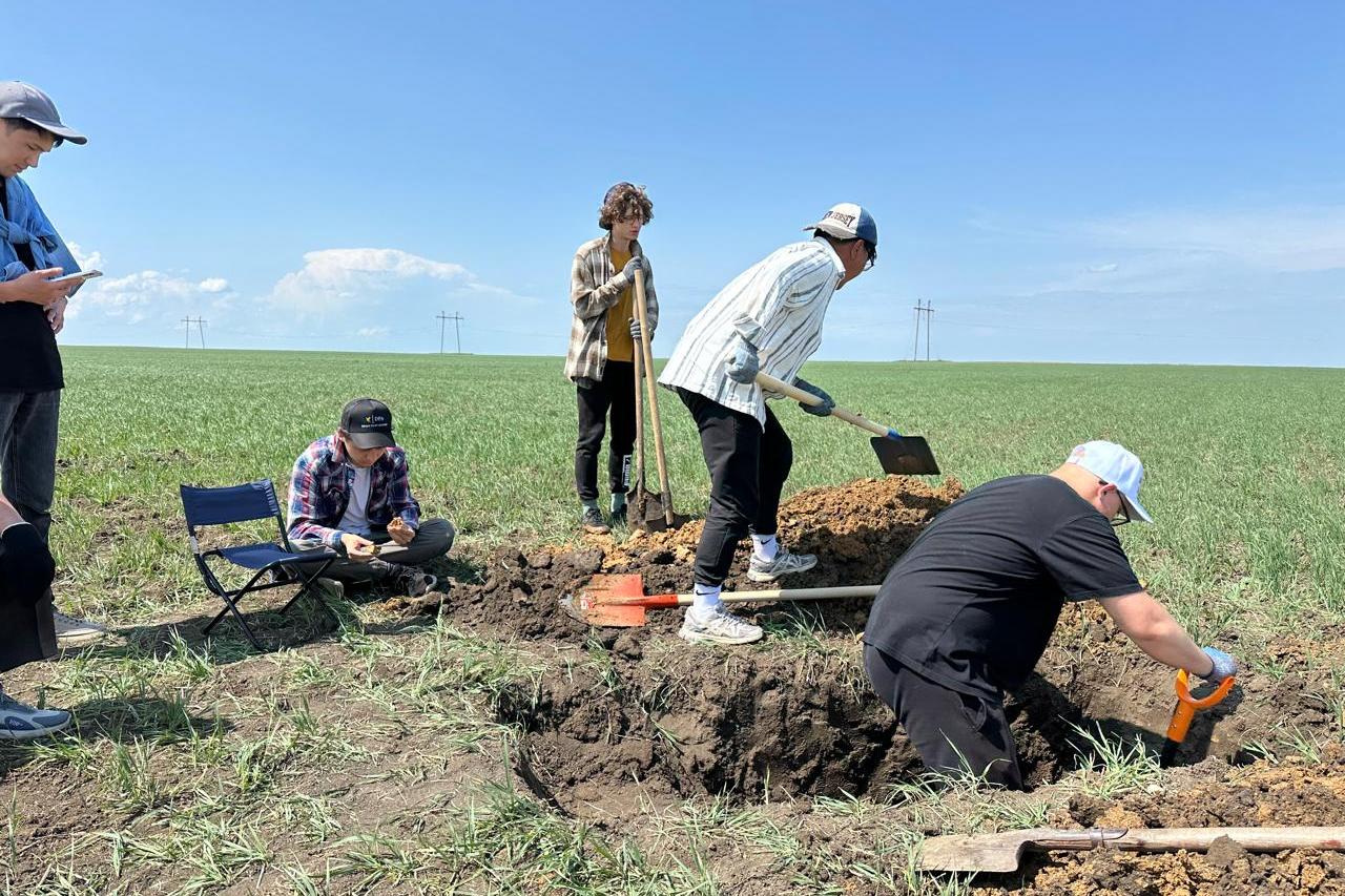
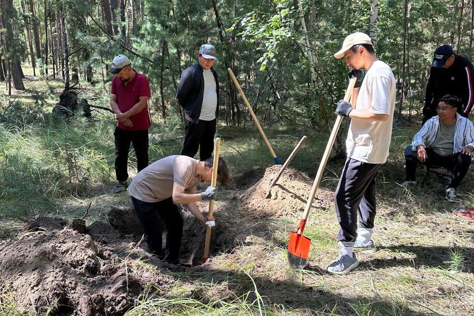
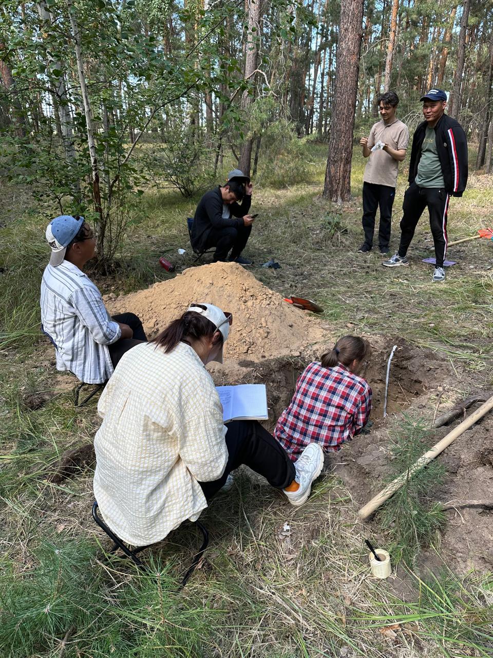
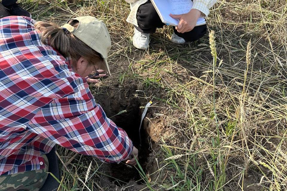
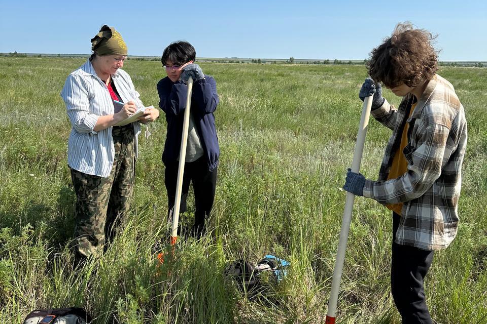
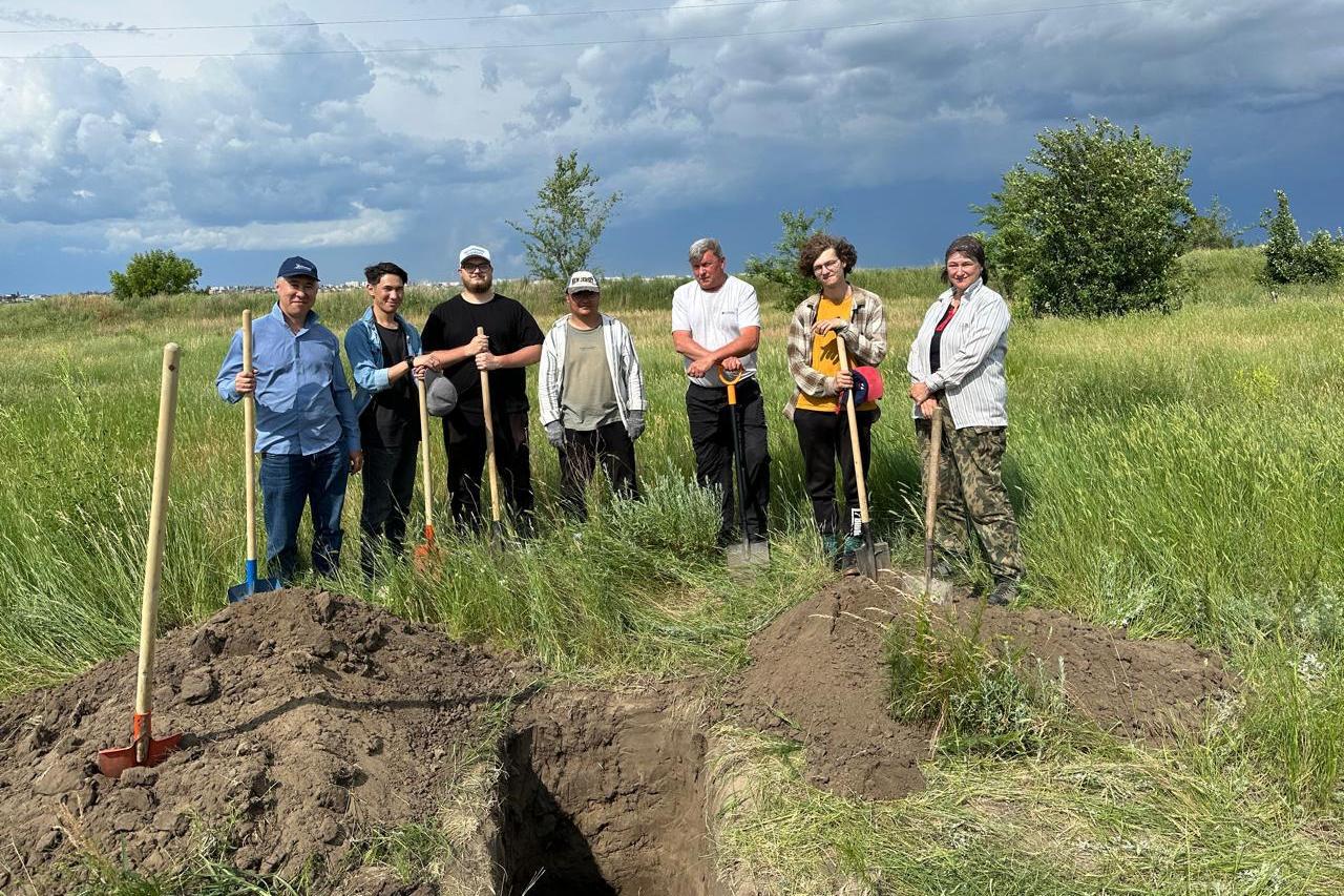
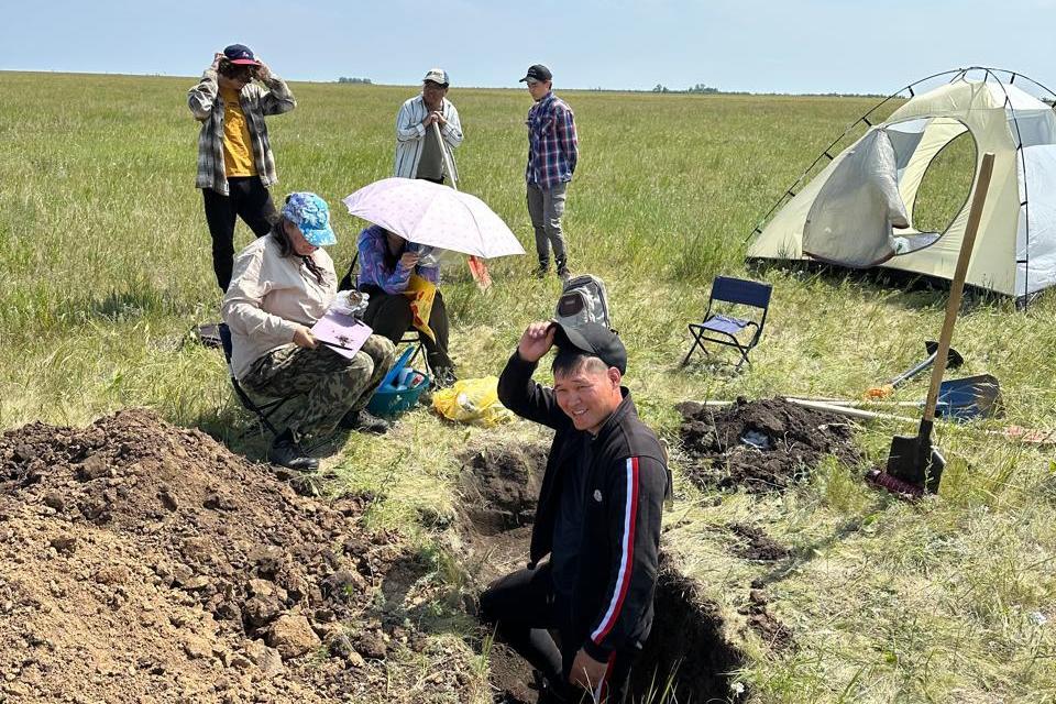
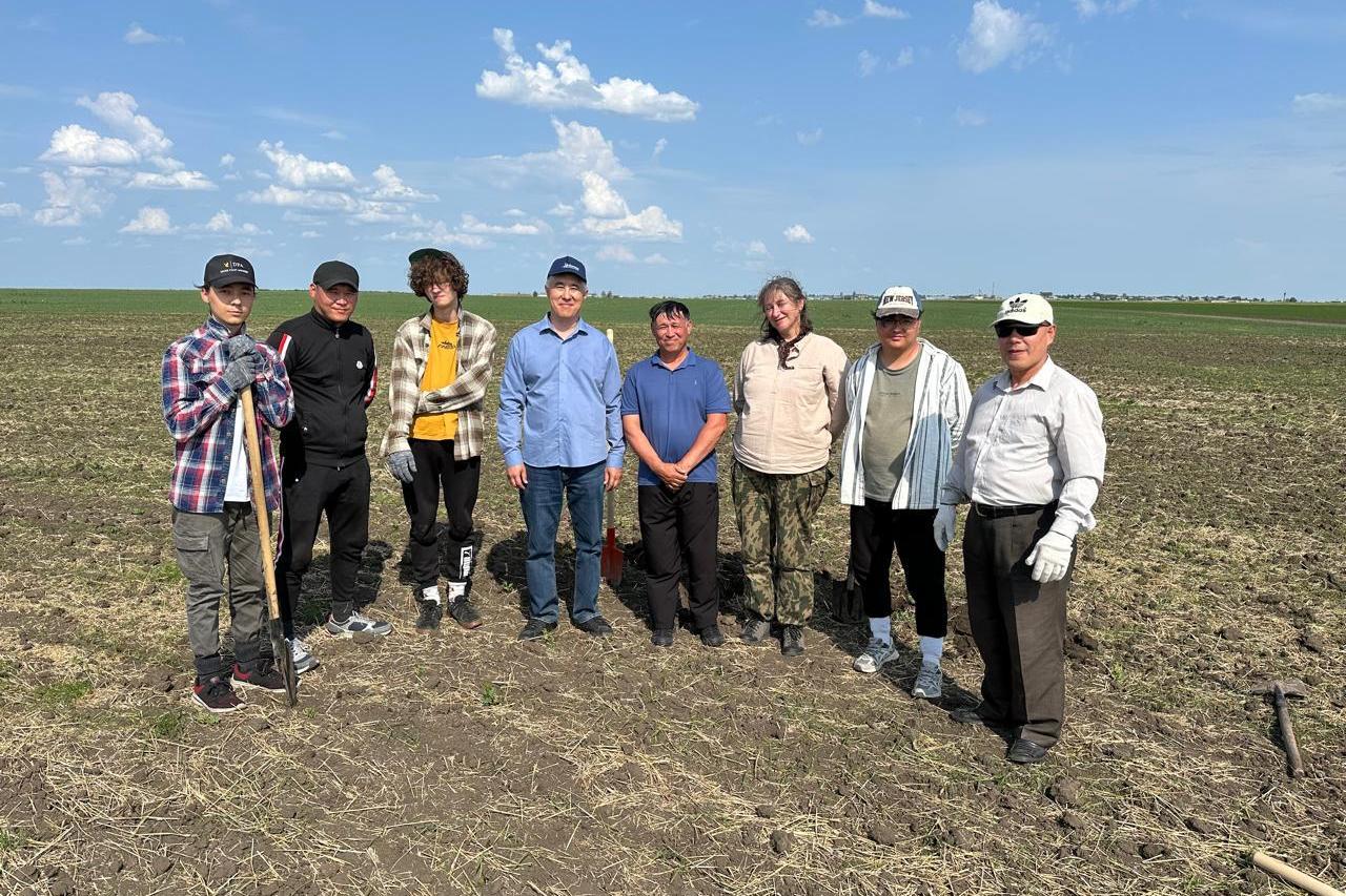
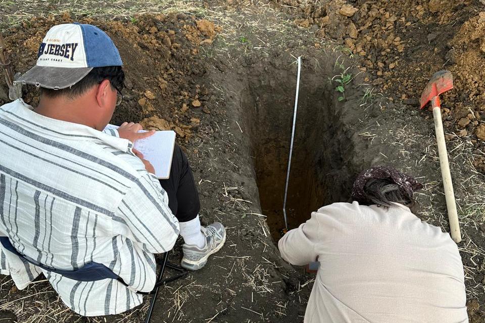
The Kostanay region is one of the country’s key agricultural areas. However, even here soils are exposed to hidden threats. These include the accumulation of heavy metals that can enter the soil from industrial sources and fertilizers. The researchers’ goal is to identify these processes before they begin to affect product quality and public health.
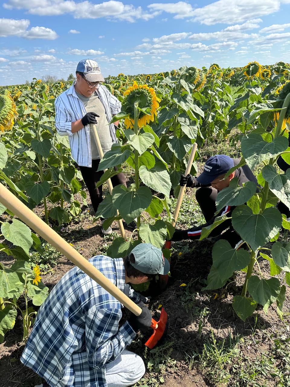
The studies are conducted both on the ground and from the air. As noted by the project leader, Almabek Nugmanov, the use of unmanned aerial vehicles has reduced monitoring costs, accelerated data collection, and enabled the capture of images with centimeter-level accuracy. As a result, farmers receive not a general overview but a precise map of the condition of each field plot.
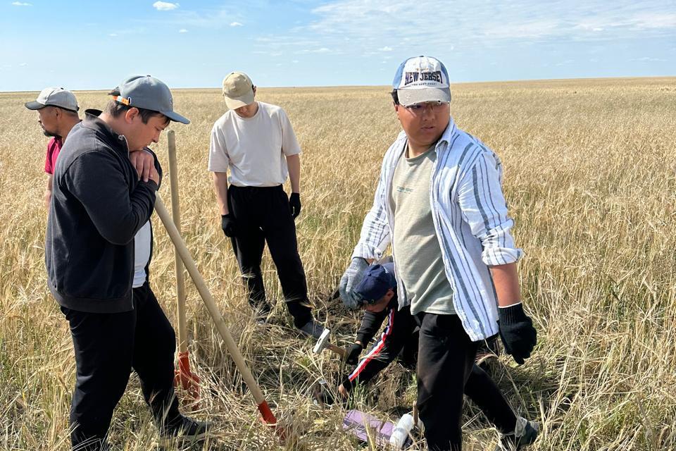
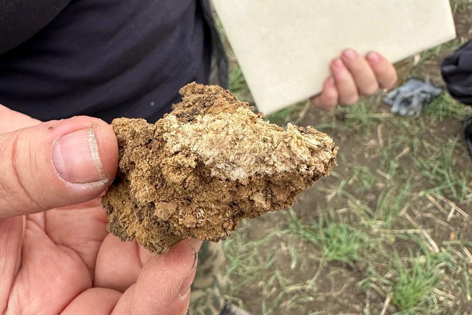
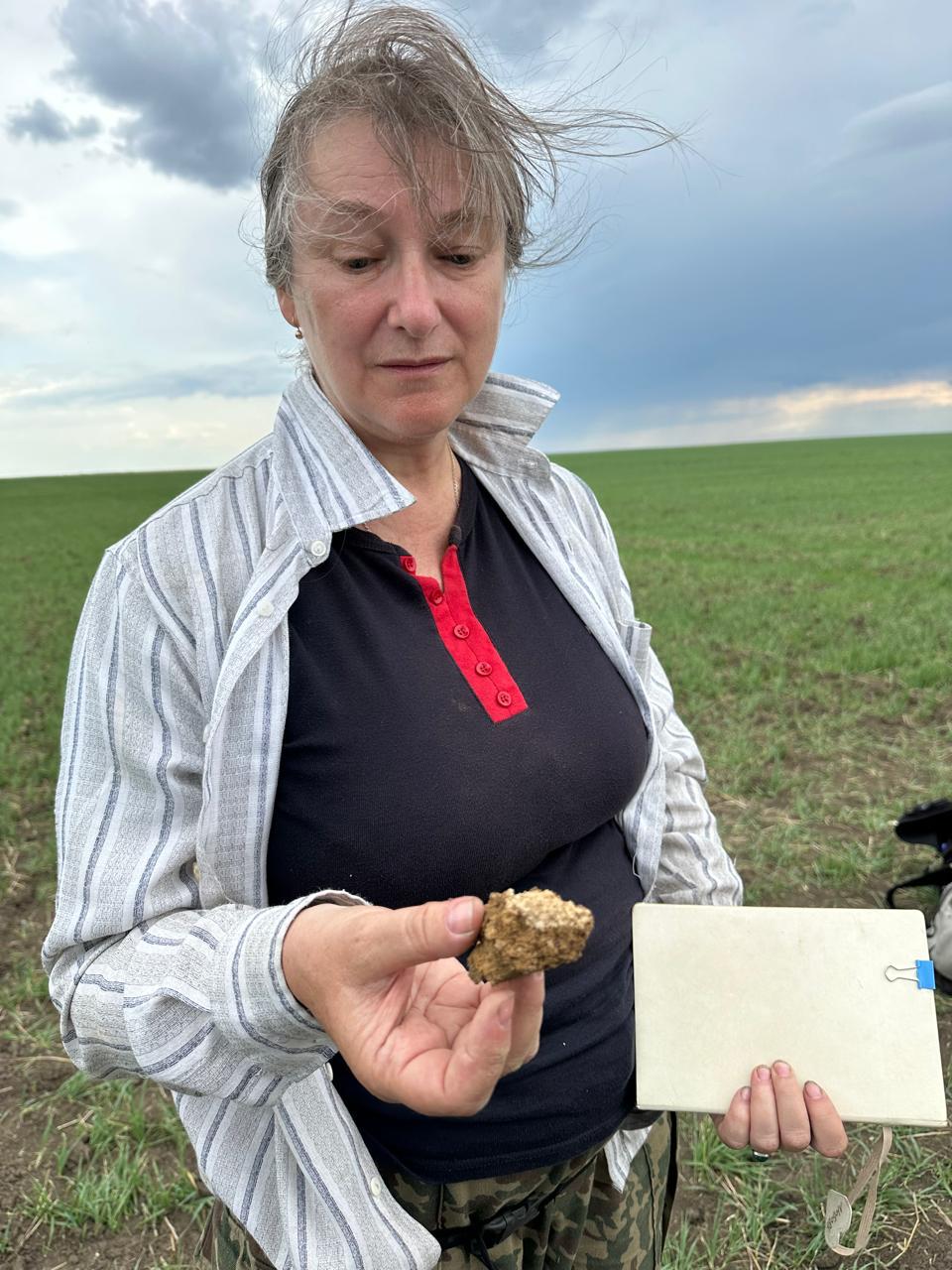
Research conducted in previous years has revealed not only contamination risks but also another issue—the deficiency of essential nutrients. This directly impacts crop yields and the quality of agricultural products. One of the key objectives is to achieve a balanced soil composition.
According to the findings, the most vulnerable areas are located near industrial enterprises, along roads, and on lands with intensive fertilizer use.
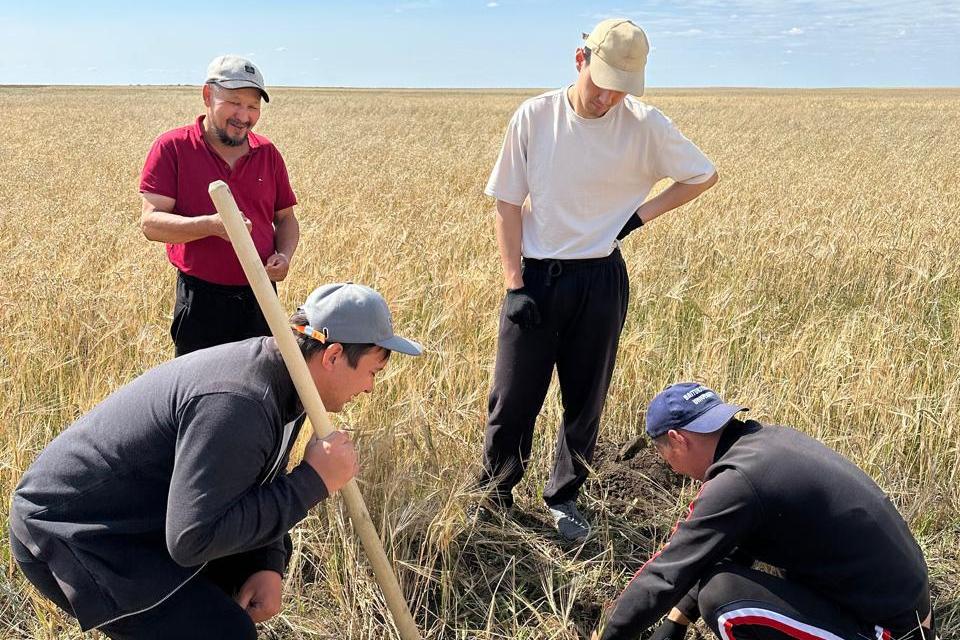
As the project progresses, a digital soil map of the region is effectively being created, forming a foundation for future agricultural management.